
BPD Field Notes

Hello! I was recently analyzing the growth of my readership, and I realized that over 90% of you have probably never seen my earlier posts. So alongside my deep dives, I will be sending you a BPD Field Notes edition of the newsletter – a mix of some of the weirdo datasets that have lingered in my story idea spreadsheet for a while, some fun data nuggets, and one older piece you probably missed.
National Park Service Archives
I just got back from a wonderful road trip along the West Coast with my family, and we visited some of the best National Parks in the US. Yosemite National Park was incredible, and we were all pretty overwhelmed with the beauty of the views around each corner.
The National Parks Service has some amazing archives full of historical photos from its parks. Here are some interesting ones I found from Yosemite.
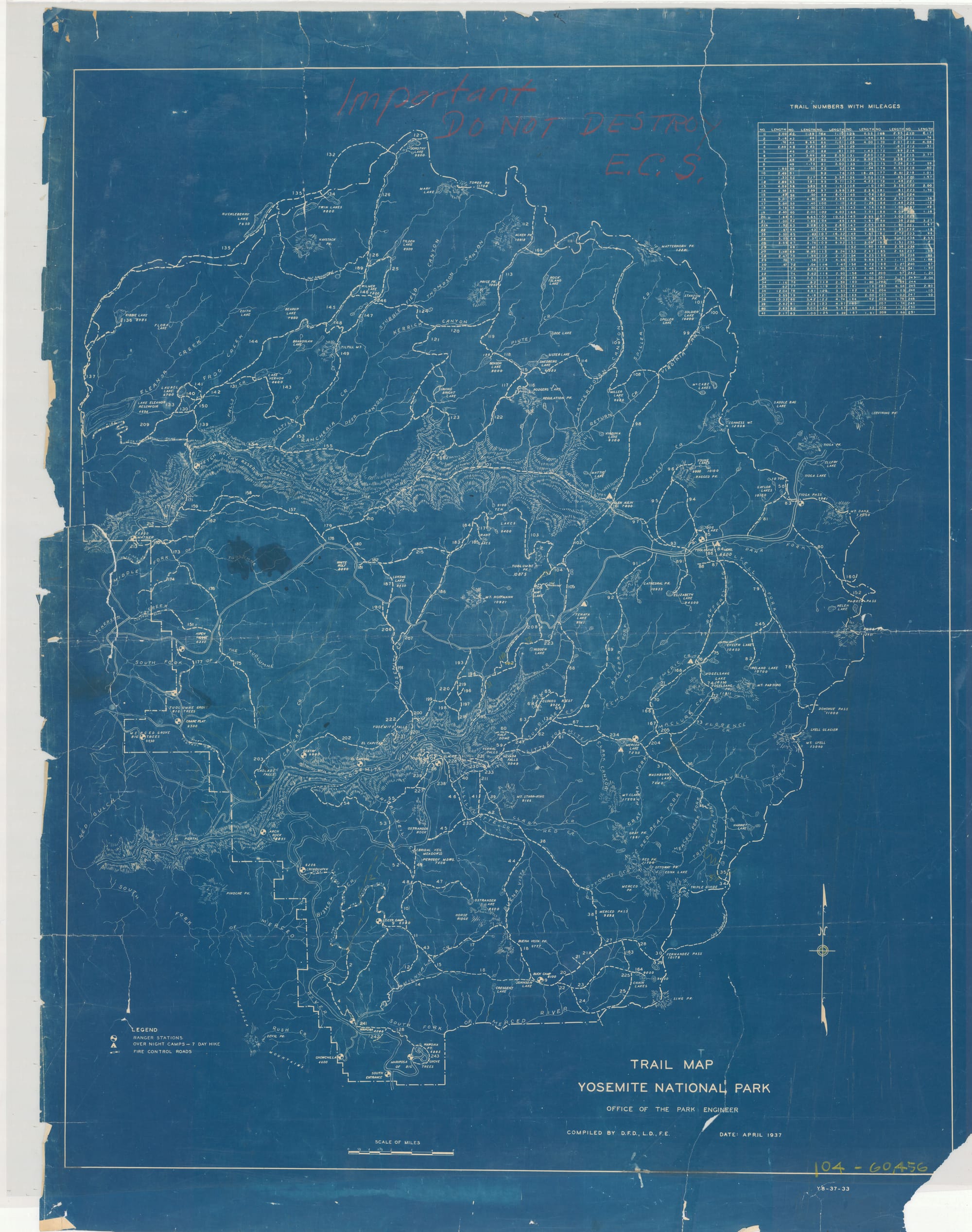
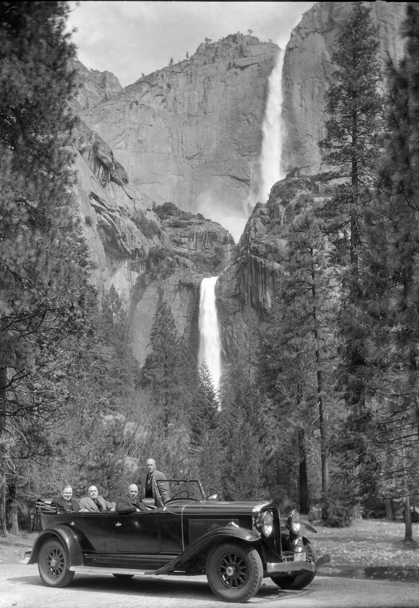
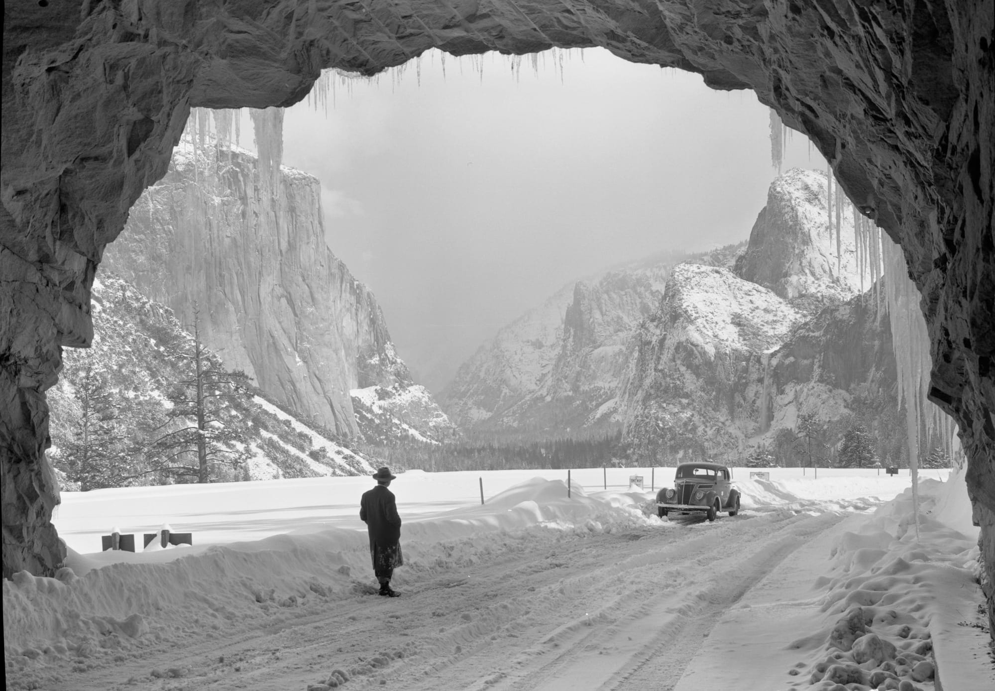
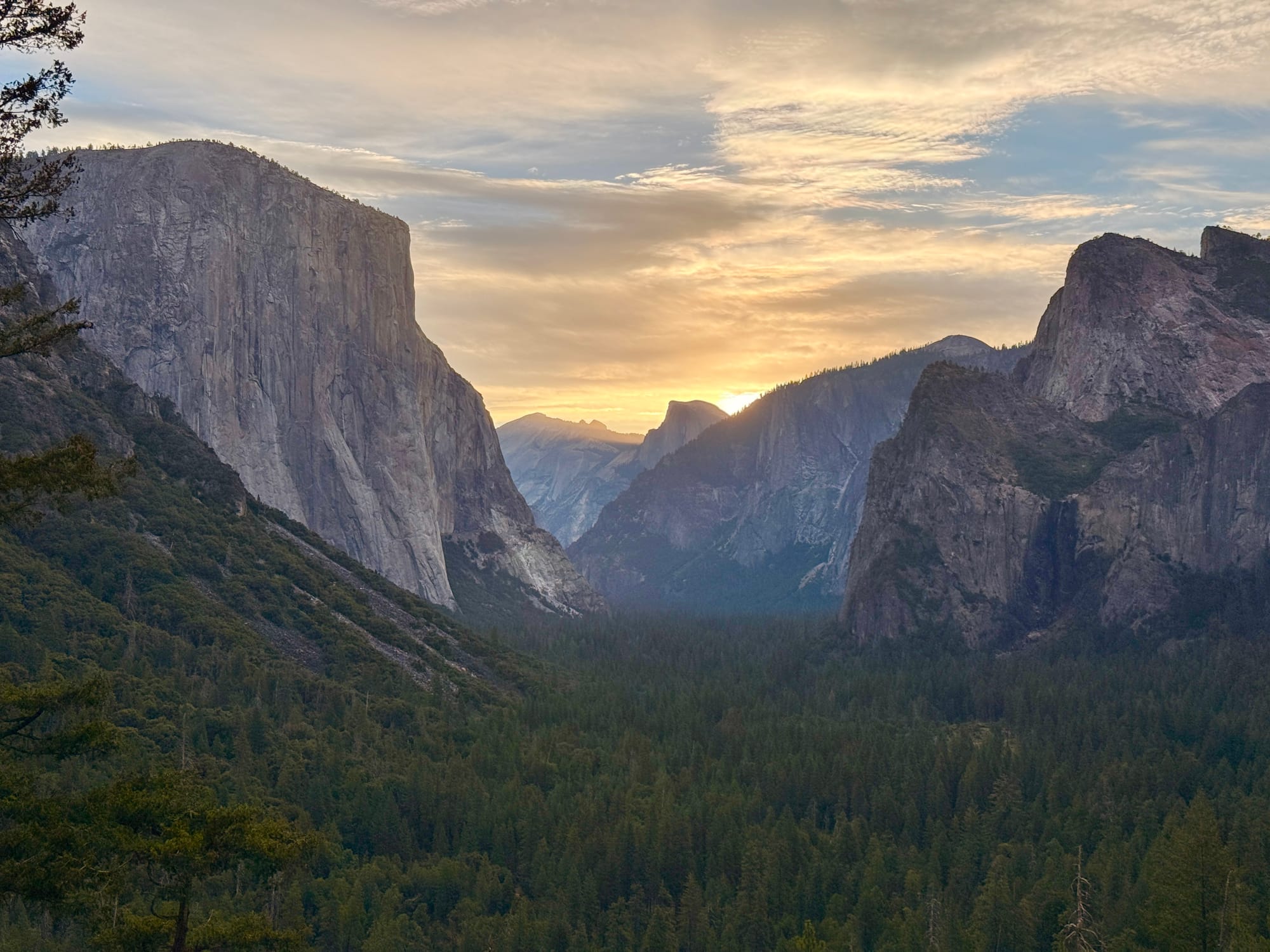
And here's a pic I snapped early in the morning from the same spot:
📍All hail the “Unigrid“
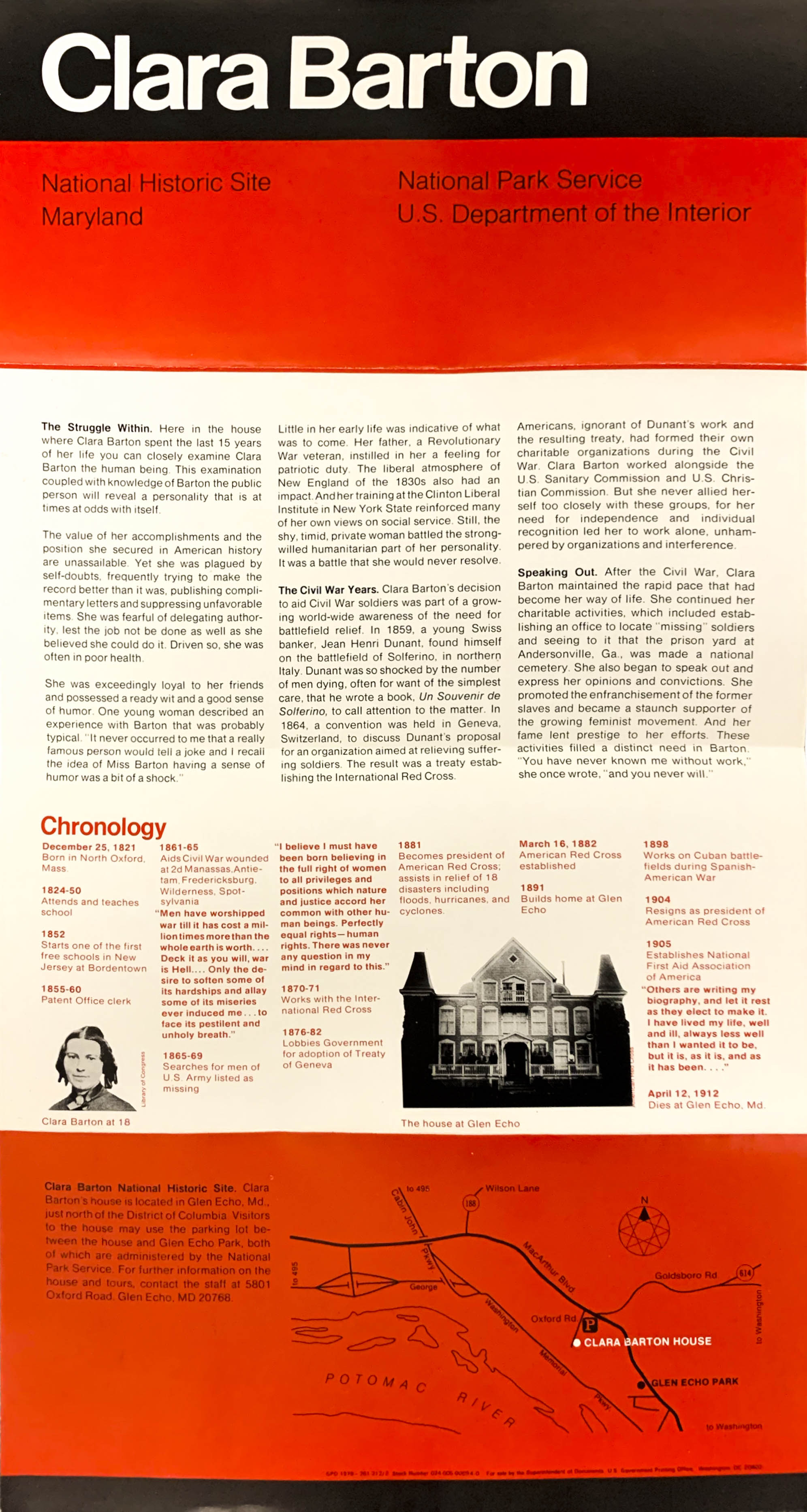
I’ve always been a huge fan of Massimo Vignelli’s “unigrid” National Park Brochures, the first of which appeared in 1977 for the Clara Barton National Historic Site.
You can browse a collection of these iconic brochures here. And you can watch an informative video about the collection:

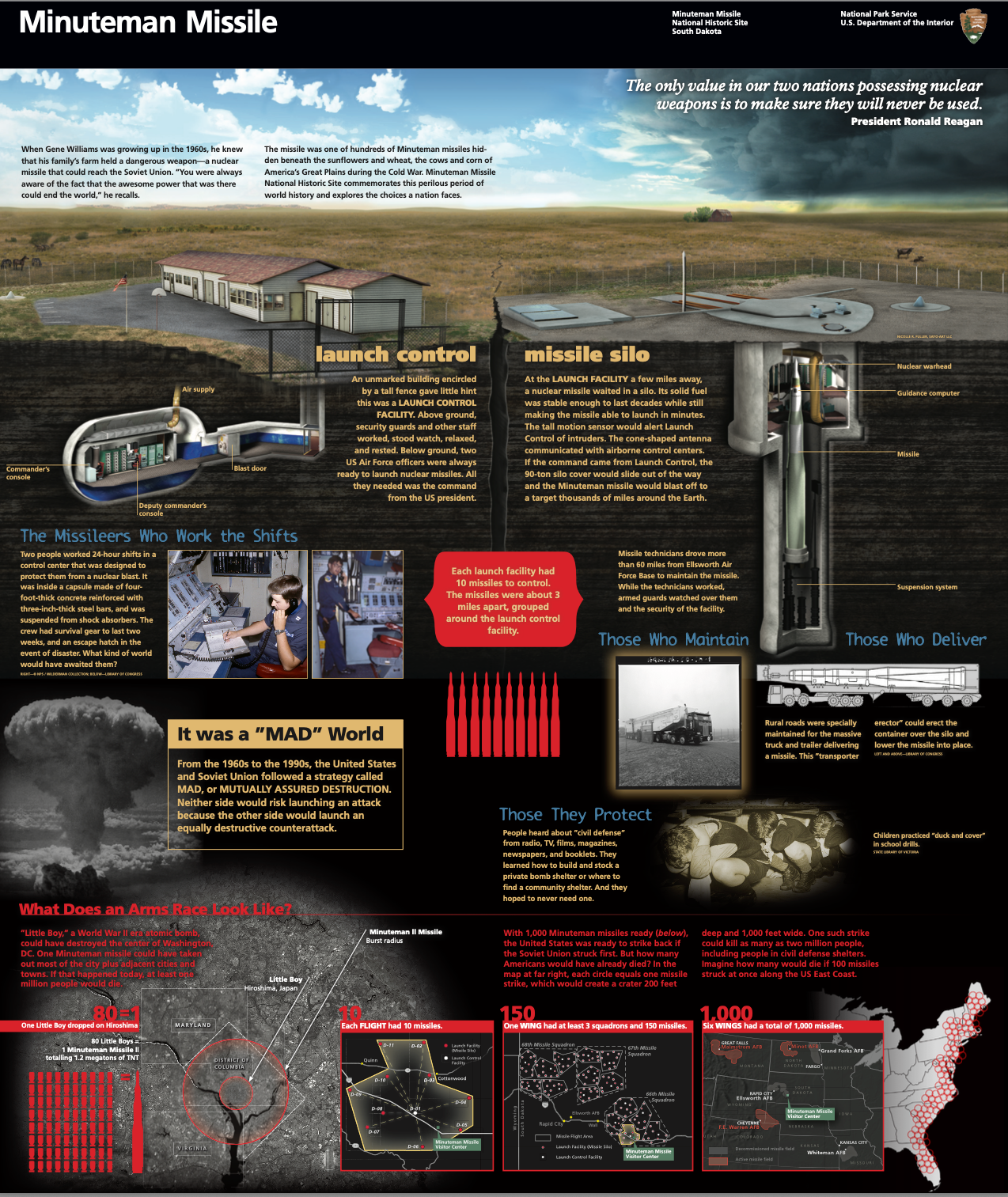
Here's the brochure for the Minuteman Missile National Historic Site in South Dakota:
🧶 NPS crochet patterns
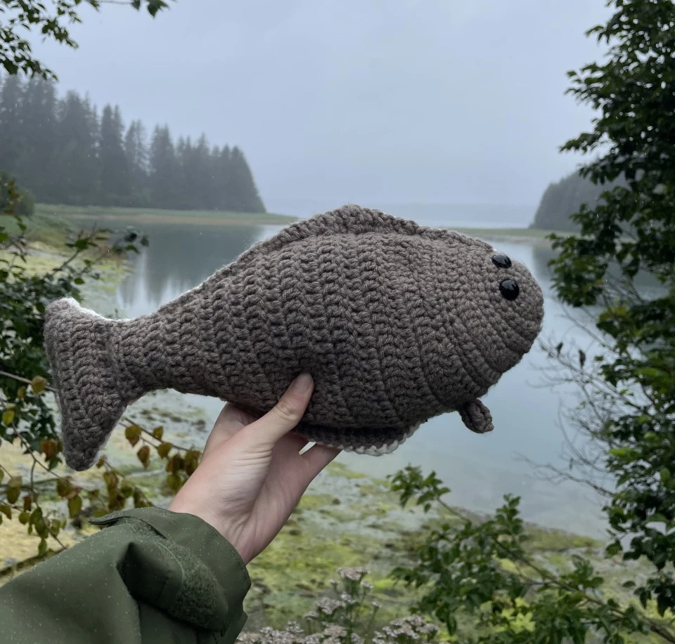
A few years ago, I found these amazing pages deep in the NPS archives — official National Park Service crochet patterns. Glacier Bay National Park & Preserve gives you this charming Halibut Crochet Pattern:
When visiting El Malpais National Monument, camping on the rocky lava flow might call for you to make a Lava Flow Crochet Pillow.
And to celebrate the 200th anniversary of the Ocracoke Lighthouse at the Cape Hatteras National Seashore, you can knit this delightful crochet lighthouse.
MUTCD Highway Signs T-Shirt
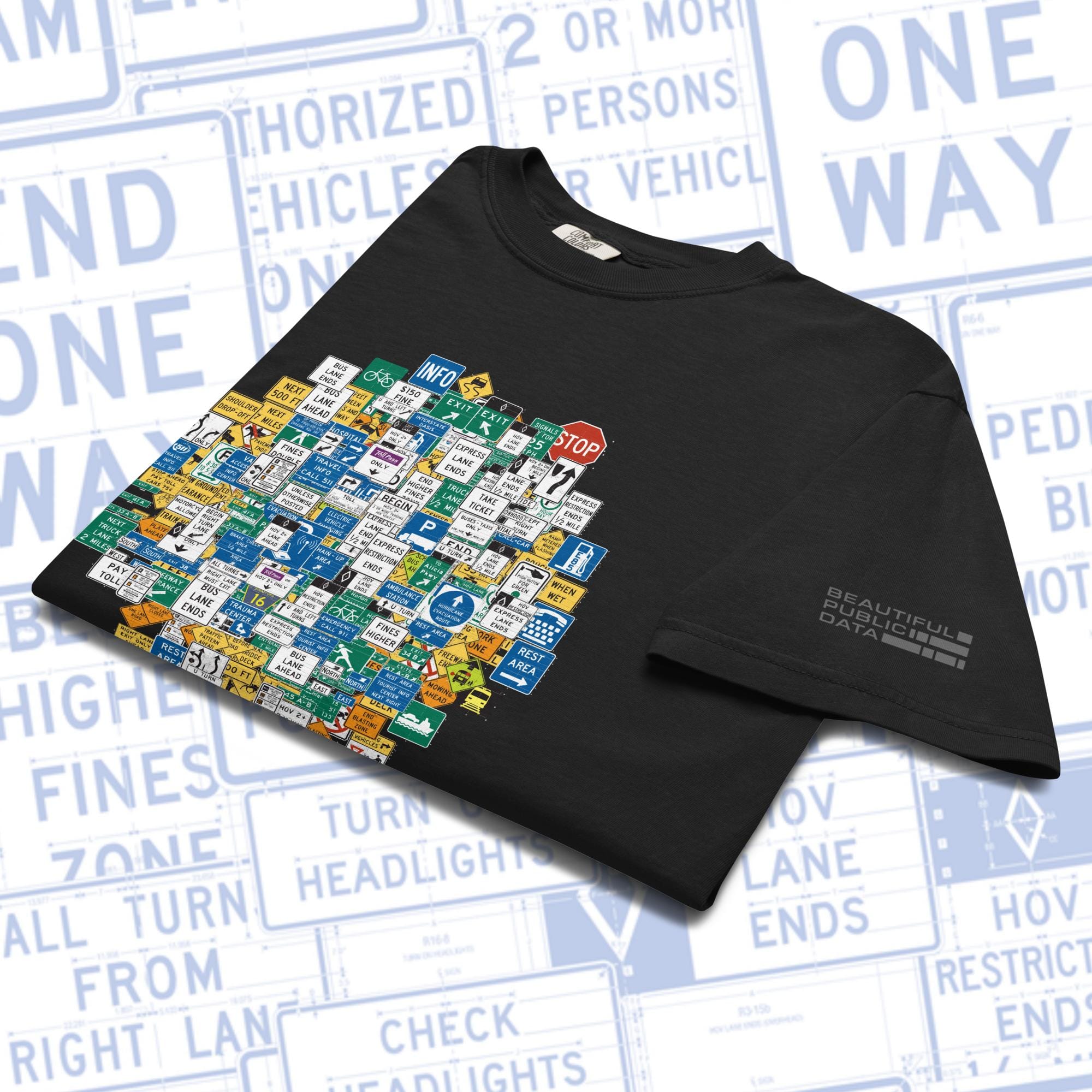
The Federal Highway Administration’s (FHWA) “Manual on Uniform Traffic Control Devices” (MUTCD), is a hefty tome consisting of close to 900 pages that contains the federal standards for all traffic safety signs, roadway markings and other “traffic control devices” that a driver on a road in the U.S. might encounter.
This shirt features an original design built from some of the signs you drive past every day on America's roads and highways.
Premium quality unisex garment-dyed heavyweight t-shirt made of 100% ring-spun cotton.
This dataset exists
1,200 Judge Pics from The Free Law Project.

From the BPD Archives
A look back at Beautiful Public Data stories that you probably missed...
Mapping the Sea Floor
USGS research vessels equipped with cameras, sonar and scanners created a map of 125 square miles of the sea floor off Cape Ann, MA.
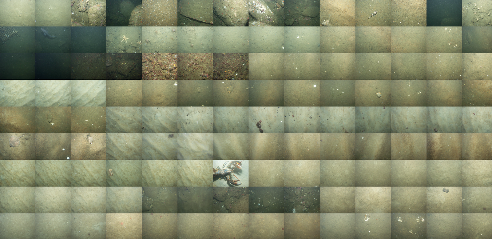
In 2004 and 2005, two research vessels, Ocean Explorer and Connecticut set off into the waters off Cape Ann, Massachusetts on a U.S. Geological Survey mission to map a section of the bottom of the sea. Equipped with cameras, advanced sonar and bathymetric scanners, these ships mapped 125 square miles of the sea floor capturing a detailed dataset that allowed U.S. Geological Survey scientists to characterize the makeup of the sediment and bedrock in waters up to 92 meters deep.

While this research project was just one of many such efforts to map the sea floor, it serves as a good example of what such data collection projects look like.
You can subscribe to our newsletter to get future posts delivered to your inbox for free. 👉🏻 📫 Subscribe now.
☕️ Buy me a coffee
Say thanks with a one time tip.
Sharing is caring
📣 If you think your followers or friends may like it, please consider sharing it.
👕🖼️ Buy Beautiful Public Data merch on our shop.
Unique t-shirts and prints inspired by our stories
🙋🏻♀️ If you have any suggestions, comments or requests, please email them to beautifulpublicdata@gmail.com
Thanks for reading!
- Jon Keegan
Bluesky: @jonkeegan.com